Frozen Head State Park and Natural Area encompasses more than 24,000 acres of wilderness area and is named for a 3,324-foot peak in the Cumberland Mountains, the top of which is often shrouded in ice or snow in the winter months. The impressive entrance leads visitors into a vestige of densely forested, unspoiled mountain splendor — once common throughout the Cumberland Plateau. Frozen Head State Park and Natural Area is located at 3208, 964 Flat Fork Rd, in Wartburg, Tennessee. For more information on the park, click here.
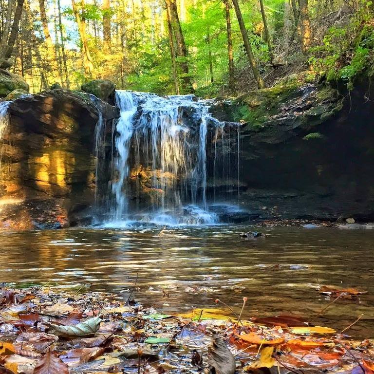
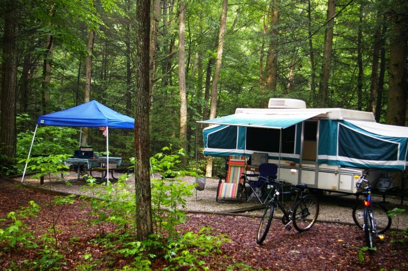
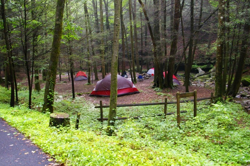
There are 20 primitive tent campsites within the park. Fifty miles of backpacking and day-hiking trails provide wildlife viewing opportunity. Many of the trailheads are located near the park office, with lesser-used trailheads located at Armes Gap and just off Highway 62 to the south. Most of the trails are open only to hiking, although mountain biking is allowed on the Lookout Tower Trail, which leads to the summit of Frozen Head.
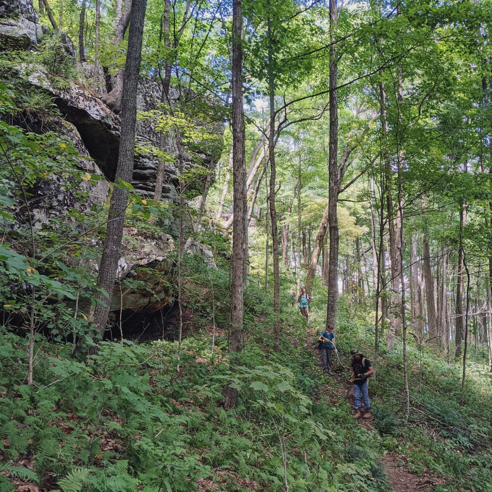
In 2006, the park replaced the aging CCC fire tower at the summit of Frozen Head with an observation deck. There is scenic seven-mile trail leading to the observation deck. The observation deck rises just above the treeline and allows for a 360-degree view of the surrounding terrain. The Great Smoky Mountains and the Tennessee Valley span the eastern horizon. Walden Ridge— where the Tennessee Valley meets the Cumberland Plateau— is visible to the south.
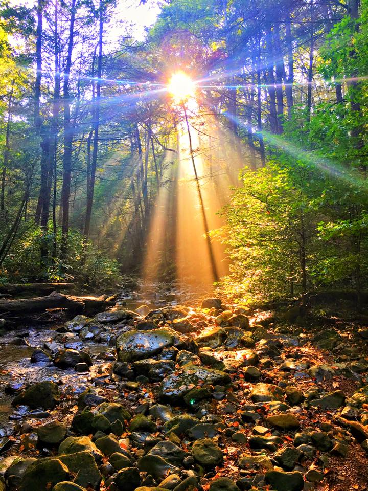
Flat Fork Creek flows through the park and is stocked with Rainbow Trout each spring. Trout are only stocked February to March. Flat Fork Creek is seasonal and may run dry in the warmer months. Fishing is allowed from the Flat Fork turnaround to the park entrance. A TWRA trout stamp is required. The park does not rent boats, nor does it have a boat launch ramp.
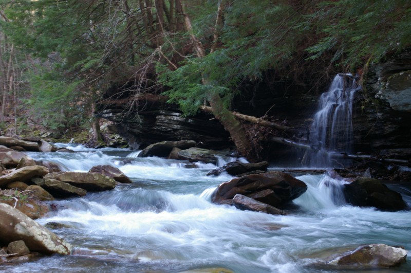
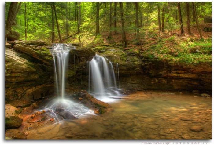
This picture is owned by Frank Kehren